Updated: 7 May 2019 |
|
Walk page: Click to view |
Appendix to the Paddington to Camden walk
MORE ABOUT PADDINGTON AND CAMDEN
Extra information about Paddington, Regent’s Park, Camden Town and the canal that connects them.
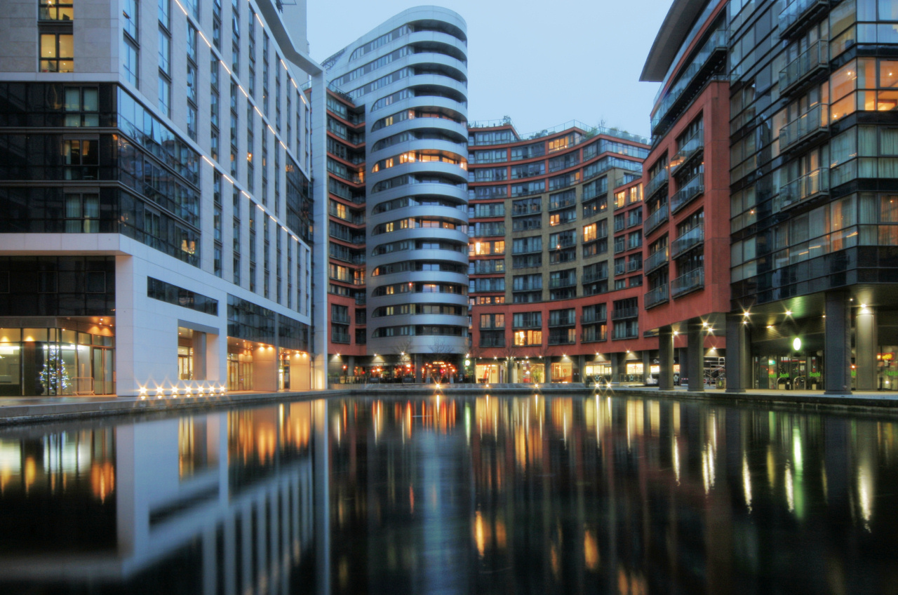
A BRIEF HISTORY OF PADDINGTON
Firstly, the name. It came from a ‘farmer’ named ‘Padda’, who in 958 owned land in the area. The ‘ton’ was added later, as this means ‘the settlement or village of’, so Paddington was the settlement of Padda.
The history of Paddington is closely wrapped up in transportation; besides the terminus for the Great Western Railway, one of the principle roads into the city is the A40 – now also the eastern extension of the M40. It runs for 260 miles, from Fishguard in the very west of Wales, through Brecon, Cheltenham, the Cotswolds, and Oxford. For hundreds of years it was a very important highway – not only was Oxford important, but so were the Cotswolds. That area had become rich as a result of sheep farming, and wool was one of the ‘staples’ of the early English economy, with much of the trading taking place in London. However, by the time of the industrial revolution, the coal, iron and steel from South Wales were also becoming vital to London’s economy.
But of course, it wasn’t just the road and rail links … the Grand Union Canal, which, as I explain under that section, was extended to allow goods from the industrialised Midlands to be brought into the heart of Paddington, as well as onwards into other parts of the city, the River Thames and then the world beyond.
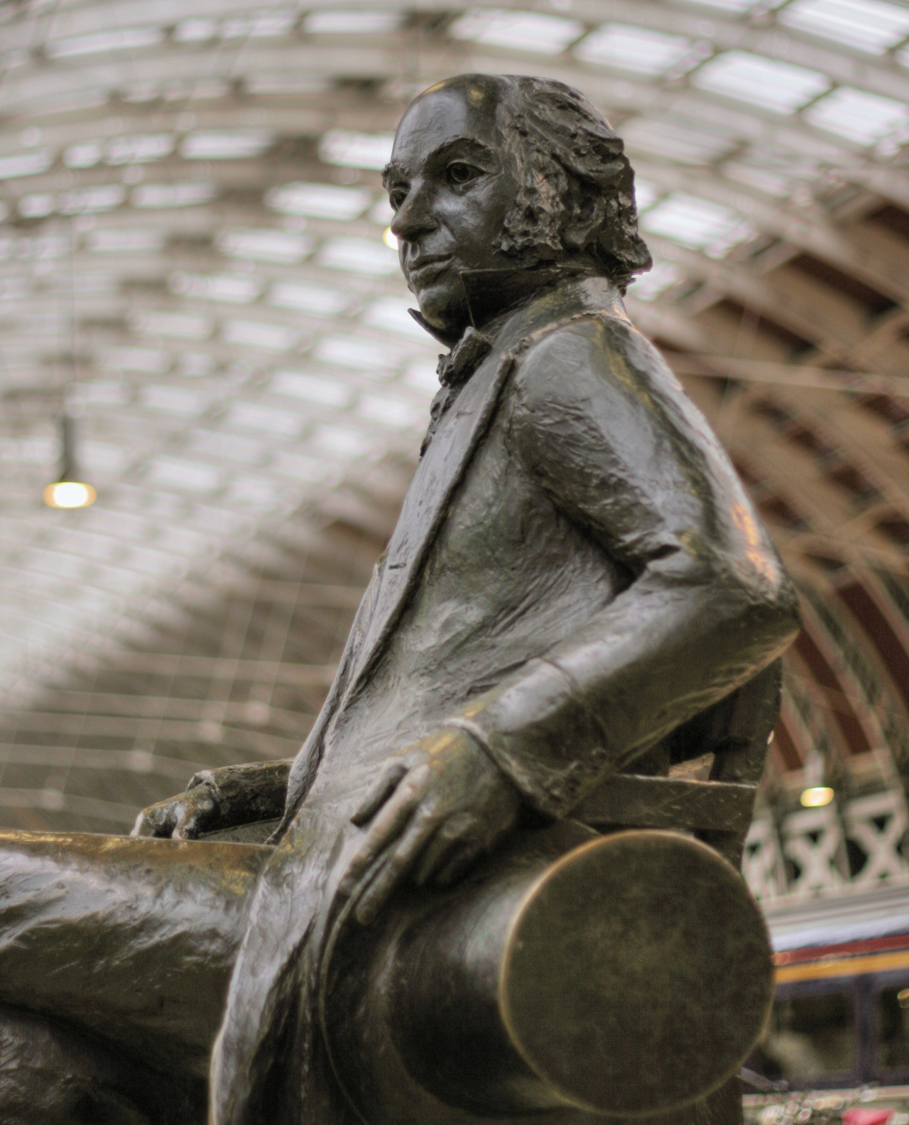
PADDINGTON STATION
Isambard Kingdom Brunel was only 27 years old when leading businessmen in Bristol decided they wanted a railway to London and chose him to do the job. He was already a successful engineer, having worked with his father on the revolutionary tunnel under the Thames between Wapping and Rotherhithe.
Travelling by horse and cart, he personally surveyed every mile of the possible route between London and Bristol. Having done so, he then had to design the numerous bridges, viaducts and tunnels on his proposed route. By the summer of 1838, the section between London and Maidenhead had opened, though the rest of the line to Bristol, which was by far the more difficult, opened sixteen years later.
Much of Brunel’s inspiration for the design of Paddington station came from the engineering wonder called the Crystal Palace. It had been built in Hyde Park for the Great Exhibition of 1851 and its construction, using just glass and iron, was revolutionary.
He opened the first part of the new station in 1838, though it was smaller than it is today and not quite on the same site, being then in the nearby Bishop’s Bridge Road. It opened on its present site in 1854, with the three original arched roofs that you see today over platforms 1–8. Even though it was then the largest covered railway station in the world, Brunel had planned it to be even larger. However, as so often happened with his ‘vision’, the costs were becoming so high he had to reduce its size. But as rail travel soon boomed beyond anyone’s belief (except Brunel’s!), it was later extended.
Mind you, part of Brunel’s enthusiasm for the railway came from his idea – and a very grand and admirable one too – for the railway to link with the docks in Bristol, thus enabling travellers to cross the Atlantic to America in one of his own ships!
In the early 20th century, the station was extended again in order to cover additional platforms – so if you look up you can see the difference in the roof that covers platforms 1 to 8 and the roof above platforms 9 to 16. Brunel’s original revolutionary glass roof lasted until the station was renovated and modernised a few years ago, when polycarbonate replaced the glass.
And the Underground at Paddington …
In 1863, just seven years after the line to Bristol was opened, Paddington became the starting point for London’s first ever underground line – the Metropolitan – which ran as far as Farringdon. (Now part of the Circle and Hammersmith & City line.)
Talking of the Underground … the most exciting development in London for many years is the new Crossrail. Now nearing completion, it’s been the biggest ever infrastructure project in Europe – and certainly the most challenging. Recently renamed the Elizabeth Line, it links Reading in the west with stations in both Essex and Kent, whilst travelling under London from Paddington right through to the east of the city – thirteen miles of tunnel in total. It will be serving a number of major stations in London, including Paddington, Bond Street, Tottenham Court Road, Farringdon, Liverpool Street, Whitechapel and Canary Wharf – but many more in both the west and east suburbs of the city.
Costing £15 billion, construction started in 2009 and has seen major disruption in many parts of London, with large areas having to be demolished to both aid the tunnelling as well as the rebuilding of a number of major tube stations.
The new line will provide an alternative to the heavily overcrowded existing Central Line, as well as significantly reducing journey times for people travelling across the city. It was due to open in late 2018 but has now been delayed by a year.
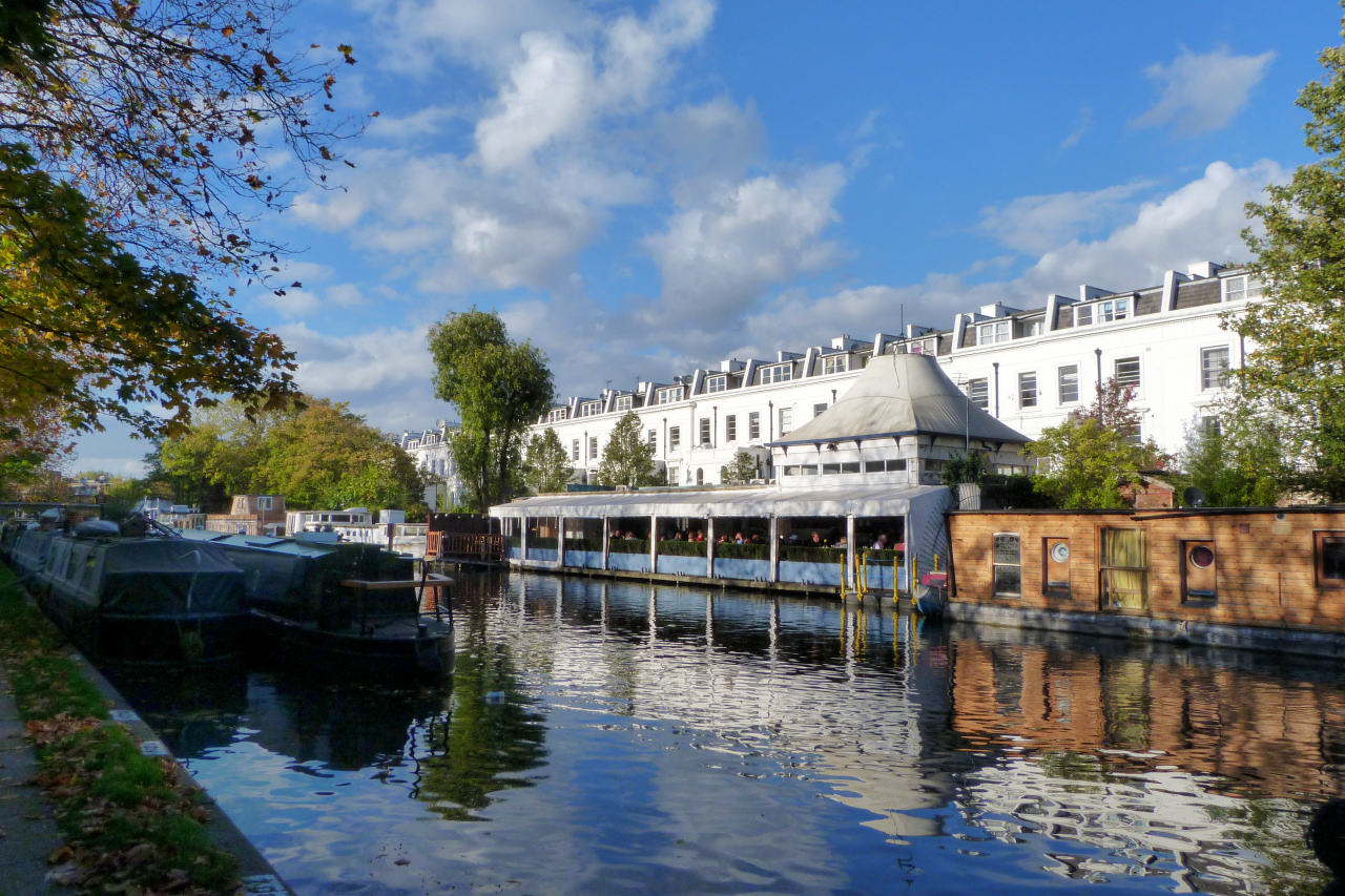
THE GRAND UNION CANAL
The Grand Union is the longest canal in Britain and extends for 137 miles, from Birmingham to London. Its total length is considerably longer, as there are a number of ‘arms’ that lead off from the ‘main canal’ into towns including Slough, Leicester and Northampton.
The name ‘Union’ indicates that it wasn’t built as one enterprise, but as amalgamations of various independent waterways.
The ‘Paddington Arm’ runs from Bulls Bridge, between Hayes and Southall in the London borough of Hillingdon, just a few miles from the southern end of the canal at Brentford, where it links with the River Thames. From Bulls Bridge it’s approximately thirteen miles to its junction at ‘Little Venice’ with the Regent’s Canal. From here there’s a short stretch that runs into the ‘Paddington Basin’, just a couple of hundred yards from the Edgware Road.
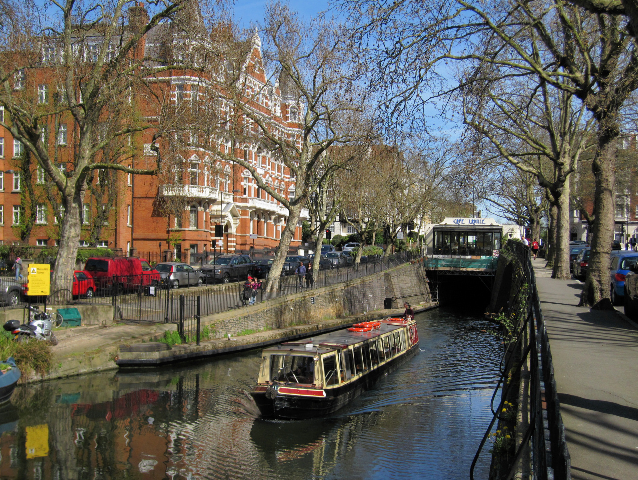
REGENT’S CANAL
The Regent’s Canal opened in 1820, the brainwave of London businessman Thomas Homer. The Grand Union had already opened, linking Birmingham in the heart of the rapidly industrialising Midlands, with Paddington in the west of London.
Homer could see the potential of a new canal that would link with the London docks on the Thames, whilst at the same time, providing easier access for freight to both north and east London.
The area now known as ‘Little Venice’ was chosen as the point where the Grand Union would link with both its ‘Paddington Branch’ as well as the Regent’s Canal, hence the wide ‘basin’ at this point.
The Regent’s Canal, which runs for 8 ½ miles around the north of the city through Camden, St Pancras, Kings Cross and the East End – all very industrialised areas in the 19th and early 20th century – had two-way traffic. It brought agricultural produce, coal and manufactured goods (and much more) into London, either unloading at various wharves along the route, or taking them to the canal’s end at Limehouse on the River Thames to be shipped overseas. Equally, goods from abroad were unloaded in the London Docks at Limehouse and taken by barge to various places along the Regent’s Canal in London or carried on through to the Grand Union for transport to the Midlands. The story of the canal, which was designed by the famous architect and town planner John Nash, is closely linked to his other major project … Regent’s Park … that we cover shortly.
Constructing the canal was certainly challenging – in just an 8 ½ mile length, the canal has 12 locks, nine-foot bridges, six road bridges, ten railway bridges and two tunnels. However, the canal quickly became a success, and it wasn’t long before sufficient tolls had been collected to pay off the cost of construction. Following its completion, companies were eager to build warehouses and factories along its banks, with Pickford’s, now mainly known for their removals business, having a fleet of over 100 barges in a specially built basin at City Road.
Within seventeen years of the canal opening, London’s first mainline station was built nearby at Euston, offering a far quicker link with Birmingham (though ironically, much of the material for building it was brought to the site by canal!) This new railway soon began to threaten the canal’s profitability, though as it turned out, they needn’t have worried, at least not for another few years, as in the late 19th century the country’s growing population and increasing employment led to a huge increase in the demand for goods. The result was a massive increase in the amount of freight needing to be moved. In addition, demand by factories as well as householders for coal, and later the rapid electrification of London, all meant power stations also needed constant large supplies of coal. All of this helped to keep the barges busy and the canal profitable. (Indeed, the reason that so many of the early power stations were built alongside the canal was simply because it was the best way to obtain their supplies of coal. It was brought down from the coal fields of the north-east of England by colliers – small coastal freighters that carried coal on what was almost a shuttle service.)
Eventually though, despite cutting their tolls and charges, the canal couldn’t compete with the railways and became unprofitable. At one time, plans were even being drawn up for the canal to be turned into a railway line, linking the new main stations of Paddington, Euston, St Pancras and Kings Cross and running all the way through to Limehouse on the Thames. Although I love the canal, I have to say that in reality, this would probably have been an excellent idea – as it would have carried freight as well as passengers. However, there was no money for the scheme and it eventually floundered. (Some years later, the Circle Line did cover part of this route, though of course it doesn’t carry freight.)
By the early to mid-20th century, the Regent’s Canal was hardly used and in places had silted up, whilst the once booming warehouses on the wharves were being abandoned and left derelict. In 1948, canals across the country were taken out of private hands and placed under the control of the British Transport Commission, which eventually became the British Waterways Board, similar to the way railways became British Railways.
The big change began to occur in the 1970s and certainly 80s and 90s when there was growing interest in the use of canals for leisure purposes, both for canal boating, hikers and cyclists. In addition, the many derelict warehouses became sought after by developers for conversion into luxury apartments. As a result, these days the canal seems more popular than ever.
REGENT’S PARK
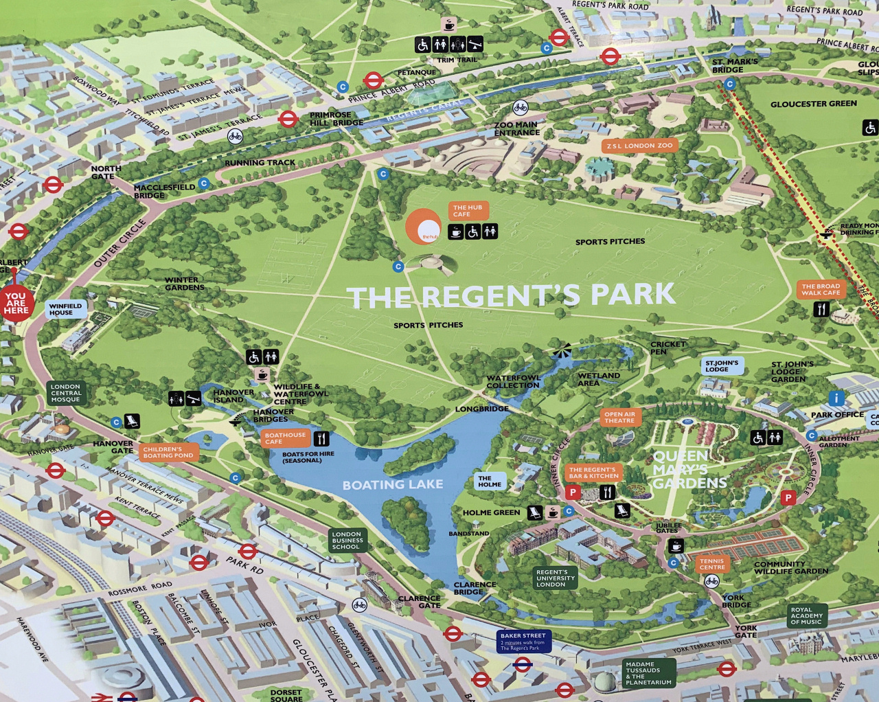
At the same time as ideas for the canal were being debated, plans were being developed for a new park – known as Regent’s Park. In the 16th century, the area had been one of King Henry VIII’s hunting grounds. It later became the privately-owned Marylebone Park, owned by the Duke of Portland. His lease ended in 1810 and the Crown offered a prize for the best plans for the entire area. Responsibility for the work was eventually given to John Nash, a well-known architect and town planner, who eventually became responsible for the Regency architecture of much of central London. Amongst other notable projects, he was responsible for public buildings such as Buckingham Palace, Clarence House and the Mall, much of Trafalgar Square and Piccadilly Circus, whilst further afield, he designed the Royal Pavilion in Brighton and even Blaise Castle and Blaise Hamlet in Bristol.
The Prince Regent (who later became King George IV), had thoughts of having a ‘Grand Summer Pavilion’ in the park and asked John Nash, with whom he was particularly friendly, to include in his plans a design for a ‘grand route’ from the park, through central London to St James. Regent Street was one of the results of this, which when it was built was far grander than it is today. The ‘Grand Summer Pavilion’ never became a reality, but Regent’s Park certainly did, with Nash building the grand houses that we see in it today.
It is now one of the most expensive areas of London with huge white stuccoed houses, many with Greek or Roman architectural features. Bizarrely, twenty years or so ago, some of the area had fallen out of favour with the rich and elite. Houses which sold then for as little as £800,000 are now going for up to £20million.
![]()
Nash, who had also become a director of the company which was building the canal, drew up the plans for its route and wanted it to run through the middle of his new park. These plans even included a large lake in the centre of the park through which the canal would pass. However, both the ‘well to do’ residents of Marylebone, as well as potential investors in Nash’s housing schemes, didn’t like the idea of rough, drunken bargemen passing through the area – they were even concerned that prospective house purchasers might be put off in case their wives overheard the bad language. As a result, Nash was forced to change his plans and make the canal go around to the north of the park. And they didn’t leave it at that; to avoid even having to see the barges, the posh local residents insisted on the banks being built up on both sides by many more feet than was necessary. (A smaller lake than he had proposed did, of course, get built in the park).

LONDON ZOO
London Zoo is the world’s oldest and largest scientific zoo. In 1826 Sir Humphrey Davy* (famous for inventing the safety lamp), Sir Stamford Raffles (one-time Governor of Singapore – hence the famous Raffles Hotel) and others established the Zoological Society of London for the scientific study of animals. The society’s Zoological Gardens opened in Regent’s Park in 1828 and in the following year George IV granted the ZSL a royal charter.
The zoo opened to the public in 1847 and for 150 years has been extremely popular. However, attitudes to zoos began to change and by the 1990s, there were fears it might have to close. When the public realised this, it prompted a huge campaign to support the zoo which meant massive investment went in to proving better facilities and environments for the animals. For example, the new lion enclosure replicates a real National Park. It is also famous for its Aquarium, which opened in 1853 and was the first in the world.
* And Sir Humphrey Davy’s story is fascinating … He was a chemist from Cornwall, who at one time lived in Bristol where he set up the famous Pneumatic Institute in Hotwells to explore the medical powers of gases. Here, together with Thomas Beddoes, he discovered such things as nitrous oxide – otherwise known as laughing gas – and one result of this was his great friendship with an odd bunch of ‘drug fuelled literary type’s’ including Thomas Chatterton, Robert Southey and Samuel Taylor Coleridge (he must have been on something to write the Tale of the Ancient Mariner!) Davy invented much more – anaesthetics for example, and of course, the famous ‘Davy Lamp’, credited with saving the lives of thousands of miners throughout the world.
CAMDEN TOWN
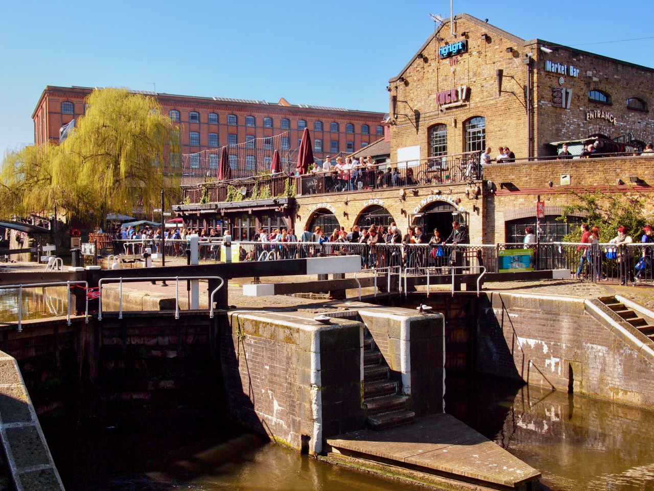
Camden was originally a sleepy country village with just a few farms and houses that lined the main road out of London heading to the north of the country. By the early 19th century, the Regents Canal had been constructed, together with a link from Paddington to the Grand Union Canal that linked the docks on the River Thames with the rapidly industrialising Birmingham and the Midlands canal. Camden became an important and busy ‘interchange’, where goods would be unloaded both for storage in the warehouses that were being built alongside the canal, as well as for transporting by horse and wagon across London.
Until not so long ago, it remained a very poor working-class area. Unlike many areas of London, where newly opened railway lines built stations in the suburbs, thus attracting a new phenomenon – middle class ‘commuters’ – no such ‘local stations’ were built on this new mainline into Euston, so it tended to remain populated by many poor Irish and Scottish immigrants. By the 1960s, some of them were ‘making good’ and began moving out to other more ‘prosperous’ areas of the city, so students, attracted by the cheap rents, began to move in. This was one of the reasons Camden began to develop a lively music and arts scene – many famous young musicians started out here, from Noel Gallagher to Amy Winehouse. It became a real centre of the ‘underground’ scene and then the punk scene, with large numbers of clubs and pubs offering live music – something very much still the case today.
CAMDEN’S FAMOUS MARKET
Camden Market was built on the site of what was once a massive ‘interchange’, where warehouses were built on the side of the Regent’s Canal to allow goods to be unloaded, stored and subsequently transported by horse and wagon across London.
When the Grand Junction Railway opened a few years later, providing vital transport links from London to Birmingham and the industrial heart of England, this ‘interchange’ between the rail, canal and road network rapidly expanded. Although the railways were using steam engines, the ‘shunting’ of the goods wagons in the adjacent Euston sidings was carried out by horses, who of course, also pulled the barges and the hundreds of hauliers’ carts that distributed everything across London.
Horses obviously needed stables and the original small buildings of just one storey soon became insufficient for the demand. Pickfords, for example, who were agents of the Railway Company, operated their own large warehouses and used over two hundred horses.
Horses and trains originally moved and worked on the same level, but this soon proved to be too dangerous, so a special horse passage was constructed through the catacombs that had been built under the railways in order to raise the levels of the tracks. There were even underground stables, and these remain today and can be found at the end of the vaults that are now used as shops. One passage finished at the horse hospital and another at the stables which allowed a safe route for the livestock who could pass through it unattended and without being frightened by all the activity around them and fear of injury or death from the trains.
Of course, with so many horses, blacksmiths, saddlers and wagon repair workshops were also needed and in the early 1880s, with over four hundred horses here, extra levels were built, linked by ramps and bridges, very much as we see them today. Part of the restoration works that have been, and are still being, undertaken include replacing the bridges and restoring the shops, to allow people, rather than horses, to walk around easily and in safety.
It has all been remarkably well preserved, and this is now the finest example of industrial stabling remaining in England.
By the mid-19th century, this Camden Goods Yard, as it had become known, was the largest of its type in the world. It thrived for many years, but by the 1970s, the majority of the old warehouses were derelict, as were the adjacent disused railway sidings, timber yards, etc. A mixture of students, as well as young ‘starving artists’ (as they were sometimes nicknamed) started moving in, attracted as always by the cheap rents for large spaces, ideal for studios and the like. Some had begun to open little stalls at weekends, where they would sell cheap antiques, ‘New Age’ and punk clothes – and it just grew from there.
Over the past few years, the market has expanded beyond anyone’s imagination. It has spread from the outside yards into the adjacent stables, the horse hospital, etc., some of which is underground. Indeed, there is said to be a labyrinth of tunnels that were dug out for storage, which extend quite some distance in various directions, some of which are still derelict.
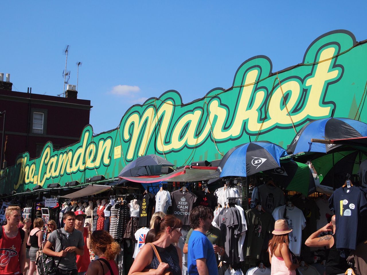
The market is now an amazing eclectic mix of stalls selling the affordable, interesting and quirky … well, almost anything you can think of. Now there isn’t just one market, but several – the Camden Lock Market (said to have been the first), the Camden Stables Market, the Horse Hospital Market, and then a little further along Camden High Street there’s the Inverness Street Market, Camden Canal Market and Camden Buck Street Market.
And it’s not just cheap clothes anymore! Besides the amazing food market, there are a large number of stalls selling anything from cheaply imported tourist ‘tat and junk’, alongside some very trendy – and not always cheap – ‘arty crafty’ stalls. Indeed, a number of young, up and coming designers – and not just of fashion – have stalls here. It’s a great way to showcase their work. In addition, there are a number of bars, clubs and restaurants, so whereas it was once only a daytime venue, it’s now also popular at night.
Camden Market is now said to be one of the top three most popular tourist attractions in London, with summer weekends attracting crowds of up to half a million visitors. So many in fact, that at weekends the Camden Town tube station is ‘inbound’ only – so to get back to London, you have to walk to Chalk Farm or one of the other stations in the area.
However, I do wonder what the long-term future holds. A couple of years ago, a billionaire property magnate brought up much of the land the market is on, together with many of its buildings. Already a large area adjacent to the canal on the other side of Camden High Street is under development, with apartment and office buildings being erected. However, he has apparently said he wants to spend £300 million on ‘improving and developing’ the market. There is certainly a lot of improvement work taking place within the old stables markets, so let’s hope.
CAMDEN AND THE ICE WELLS
I am grateful to a ‘local-local’ history website for the following information:
“The ice men would descend into the well in the early mornings by a steel ladder and spend up to two hours winching up the ice blocks to the surface. These could weigh from 2 to 4 hundredweight each and might have to be lifted fifty feet or more. The ice was laid in the ‘ice table’, where each man had to split his blocks with an ice pick into smaller pieces, suitable for the customers. These blocks, carefully swathed in sacking for insulation, were then delivered by cart to restaurants, fishmongers, and private houses. The men arrived back at the ice well for a second delivery by 8.30 in the morning. In hot weather, when the demand was high, they could deliver up to four loads a day.”
There are many stories of the ice men walking all the way to London each Spring, from their villages in Switzerland, and back again when the cold weather set in. This travelling and the importation of ice has long ceased. One result of this was that the economies of both Norway and Ticino, the Italian part of Switzerland, where the men were traditionally forced to go abroad for work, were disrupted by the invention of the common refrigerator.
Click this link if you are interested in reading more about the ice wells and icemaking in London.